For centuries, the ocean floor has acted like a silent vault, locking away human history under kilometers of water and meters of dense, suffocating mud. When a ship sinks, it doesn't just sit on the sand like a toy in a bathtub. It is immediately attacked by currents, decay, and a constant rain of organic debris known as marine snow. Over hundreds of years, fine sediment blankets the hull until the vessel is completely buried. To traditional archaeologists, these wrecks were invisible, lost in a "dark zone" where even the best cameras and sonar could only see a flat, empty expanse of mud.
The struggle to explore the deep sea has always been a battle against water itself. Unlike air, which lets light and radio waves travel long distances, water is a stubborn barrier that soaks up energy and scatters signals. While we have mapped the surface of Mars with incredible detail, much of our own seabed remains a blur. Historically, we have relied on "acoustic eyes" or sonar, which bounces sound waves off objects. However, when a wreck is buried deep in the seabed, sonar often cannot tell the difference between a solid wooden beam and the hard-packed clay surrounding it. To find what is truly hidden, we needed a tool that perceives the world through the surgical precision of light rather than sound.
The Limits of Sound and the Leap Toward Light
To understand why sub-nanosecond pulse lasers are such a breakthrough, we first have to look at the flaws of the old standard: Side-Scan Sonar. Sonar works by sending out a "ping" of sound and measuring how long it takes for the echo to return. While it is great for finding a shipwreck sitting out in the open, it lacks detail. Sound waves are relatively long and clumsy. When they hit a seabed covered in silt, the sound either bounces off the top layer of mud or fails to penetrate it clearly. The result is a messy jumble of data. It is like trying to feel the shape of a coin through a thick winter glove; you know something is there, but you can’t tell if it’s a quarter or a button.
This is where LiDAR (Light Detection and Ranging) comes in, specifically redesigned for the harsh deep-sea environment. LiDAR uses laser pulses to map distances. However, the standard LiDAR used in self-driving cars uses infrared light, which water absorbs almost instantly. To see underwater, scientists use the "blue-green window," a specific part of the light spectrum that can cut through water with much less interference. By shortening these laser pulses to sub-nanosecond bursts - less than a billionth of a second - researchers can achieve a level of timing precision that used to be science fiction.
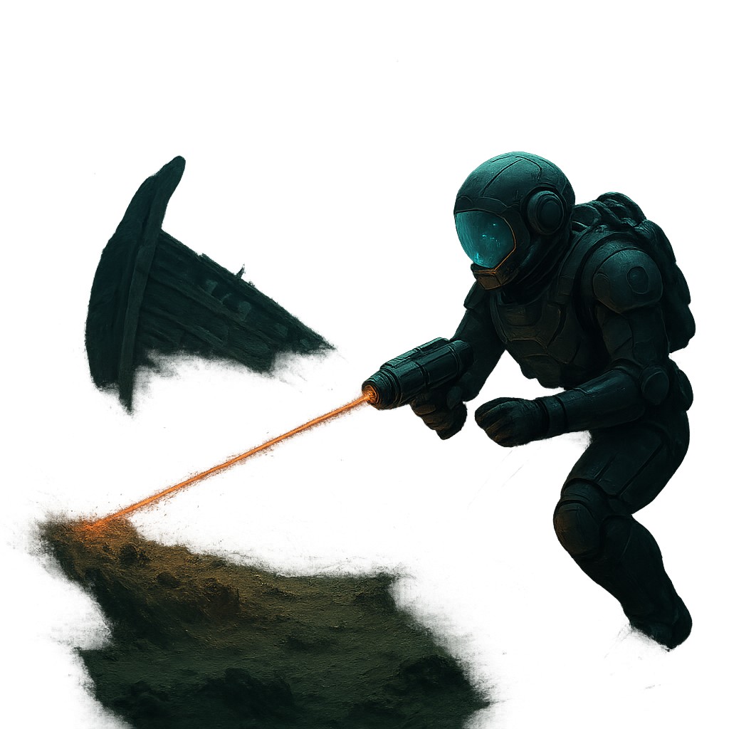
The magic lies in how these pulses react to different materials. As the laser fires toward the seabed, some light reflects off the water’s surface and some off the top of the mud. But a tiny, vital amount penetrates the sediment to bounce off the hard structures underneath. Because the system measures time at such a microscopic scale, it can separate these different signals. It filters through the "noise" of the water and silt to find the solid hits that indicate man-made objects. This allows archaeologists to see through the ocean floor as if it were glass, revealing ship timbers or the curve of a clay jar hidden three meters deep in the muck.
The Science of Seeing Through Mud
The shift from "seeing" to "interpreting" is where sub-nanosecond lasers really shine. When a laser pulse hits a target, it doesn't just produce a flat photo. Instead, it creates a "point cloud," a 3D map made of millions of individual data points. In the air, this is easy. In the deep sea, every floating bit of plankton or grain of sand acts like a tiny mirror, scattering the light. This creates "backscatter," the same blinding effect you see when you turn on your high beams in a thick fog.
To fix this, these systems use a technique called "range gating." Imagine a high-speed camera shutter that only opens for a tiny fraction of a second at the exact moment the light from the seabed is expected to return. By ignoring all the light that returns too early - the reflections from the water and floating particles - the system effectively deletes the fog. This leaves only the signals coming from the solid objects below. The shorter the pulse, the more accurate this process becomes. A sub-nanosecond pulse is so brief that it can distinguish between objects only a few centimeters apart, even when they are buried under layers of soft material.
| Technology Type |
Medium Used |
Main Strength |
Major Weakness |
| Side-Scan Sonar |
Sound Waves |
Long range; works in murky water |
Low detail; cannot penetrate silt well |
| Standard LiDAR |
Near-Infrared Light |
High precision on land |
Water absorbs it almost instantly |
| Bathymetric LiDAR |
Green Laser Pulses |
Penetrates shallow water |
Limited by depth and water clarity |
| Sub-nanosecond Laser |
Ultra-short pulses |
Extreme detail; sees through seabed |
Requires relatively clear water |
By analyzing the "reflectivity" or strength of the returning light, the system can even guess what a hidden object is made of. Soft mud absorbs light differently than a dense oak plank or a rusted iron cannon. This distinction is the key to moving beyond simple detection. Archaeologists are no longer just finding "bumps" on a map; they are identifying ship skeletons, cargo layouts, and the clear shapes of human engineering. This is the difference between finding a "site" and discovering a "story."
Virtual Digging and Ethical Exploration
For decades, the standard way to explore a buried wreck involved "prop-washing" or dredging. This is the underwater version of using a leaf blower to clear a garden; it moves the mud, but it is destructive. Shifting huge amounts of sediment can ruin the delicate chemistry that has kept wood or leather preserved for centuries. Once exposed to oxygen, these items can rot quickly. Furthermore, physically digging up a site is expensive, dangerous for divers, and often destroys the context of the find - such as the exact spot where a coin sat next to a sailor’s chest.
Sub-nanosecond lasers allow for "virtual excavation," which avoids these problems. Because the laser can see through the seabed, it can map the entire site in 3D without moving a single grain of sand. Researchers can rotate the digital model, "peel back" layers of silt on a computer screen, and study the internal structure of a buried hull. This leads to a "surgical" approach. Instead of digging up everything, researchers can find specific crates or artifacts and only recover those small areas. In many cases, the digital model is so detailed that raising the wreck is no longer scientifically necessary.
This "look-but-don't-touch" philosophy is becoming the gold standard for protecting ocean history. It treats shipwrecks as time capsules rather than treasure chests. By leaving the silt layer alone, we keep the wreck in an oxygen-free environment, which is the best way to ensure it lasts another thousand years. The laser pulse is the ultimate tool for the modern archaeologist: it provides all the data of a dig with the footprint of a ghost.
The Clarity Barrier: Overcoming Murky Water
While this technology seems like magic, it is still limited by the laws of physics - specifically "turbidity," or how cloudy the water is. Even the strongest laser cannot see through underwater dust storms. In places where rivers dump silt into the ocean or strong currents stir up the bottom, the water becomes a thick soup. Floating particles soak up the laser's energy and create "false returns," making the 3D map look like a grainy, snowy TV screen from the 1980s. To get the clear images needed for a virtual dig, the water must be fairly clear.
Engineers are fighting this limit with smart algorithms and "multi-scattering" models. When a laser pulse hits a particle, it doesn't just vanish; it bounces off in a new direction. New software can track these scattered bits of light and use math to figure out where they came from, essentially "de-blurring" the image after it is taken. It is like a computer program sharpening a blurry photo of a license plate until the numbers are readable. By combining laser power with machine learning, archaeologists are pushing the limits of how dirty the water can be before they lose sight of their target.
Depth is another factor. While a laser is precise, it loses energy every centimeter it travels. Currently, these systems work best in the "shallows" - depths up to 50 or 100 feet where many historic ships crashed on reefs. Building lasers that can reach the deep plains where the Titanic rests while keeping the pulses incredibly short is the next big challenge. This requires putting massive power into a small package that can fit on an underwater drone, an engineering feat that is currently in the testing phase.
Targeted Recovery and a New Era of Discovery
We are entering a time where finding a shipwreck is no longer a matter of luck. In the past, maritime history was often written by accident. Now, it is a targeted, data-driven science. With laser-equipped drones, we can scan huge areas of the coast to create a full catalog of submerged history. We can pick which sites to study based on how well they are preserved or how important they are, focusing our resources on the wrecks with the most to tell us.
This method is uncovering history we didn't even know we were missing. For every famous warship like the Vasa, there are thousands of humble merchant vessels and fishing boats that tell the "real" story of human migration and trade. By looking through the seabed, we are finding the ships of ordinary people - the ones that didn't make the history books but built our modern world. Each new laser scan is like finding and reading a page from a lost book.
The uses for this technology go far beyond archaeology. These same lasers help monitor underwater pipelines, map the health of coral reefs, and even find downed aircraft. By mastering the art of seeing through the solid seabed, we aren't just looking at the past; we are building tools to manage our future in the ocean. The era of the "blind" deep-sea explorer is ending, replaced by a generation that uses pulses of light to pierce the dark.
Imagine the massive amount of human history still buried in the silent stretches of the ocean floor. Every year, we get better at seeing through the mud, turning a graveyard of secrets into a library of discovery. This shift from physical destruction to digital preservation ensures we can learn from our ancestors without erasing their footprints. The next time you look at the ocean, remember that the sand beneath the waves isn't just a floor - it’s a curtain. We have finally found the light that can see through it, allowing us to witness the dramas of history that have been waiting for centuries to be told.